SinicaView
SinicaView is the first 4D GIS platform that provides an extra dimension through the incorporation of historical maps in Taiwan. The platform serves as a cross-disciplinary academic platform and a public resource for studying historical maps. With access to historical maps from Academia Sinica and various other academic institutions or other governments, SinicaView provides the ability for its users to see Taiwan as if they have traveled back in time through a time machine. The platform is also the first of its kind to provide location services for place names of Taiwan under the governance of past Chinese dynasties and Japan.
.jpg)
Land Use Forest Map under the Nationalist Government
Map of Western Taiwan during the Qing dynasty
In addition to viewing the latest map, the platform also supports importing historical maps from various periods. For example, people living in low-lying areas that are prone to flooding might be able to check if they were once on the path of a river. Besides societal contributions, SinicaView can also serve as a platform for showcasing results or issues from academic research. This, in turn, enriches the content of the platform itself and allows the public to understand research results of complicated topics through a simple interface.
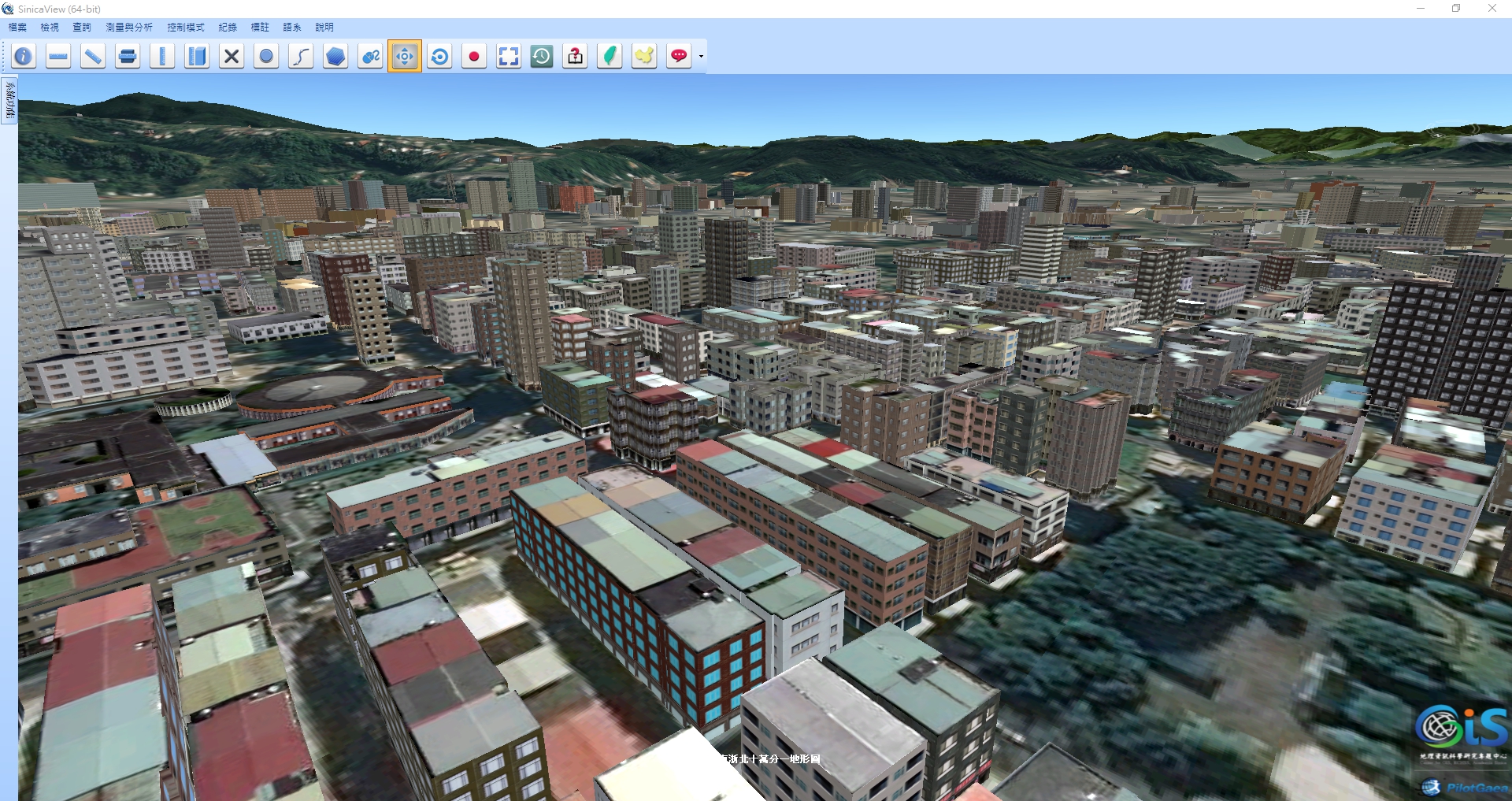
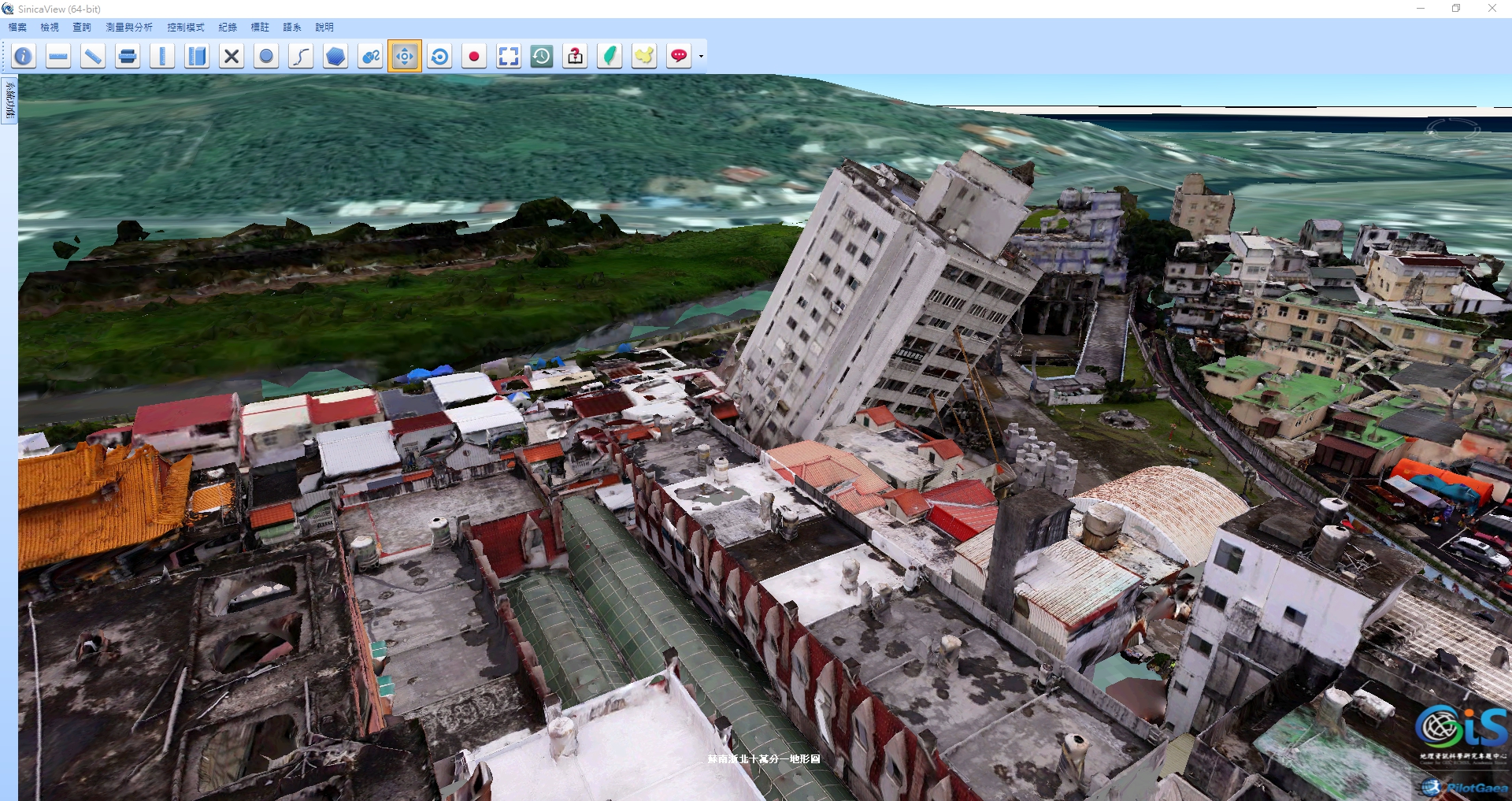
1. Visualize 2D Map Data in 3D View
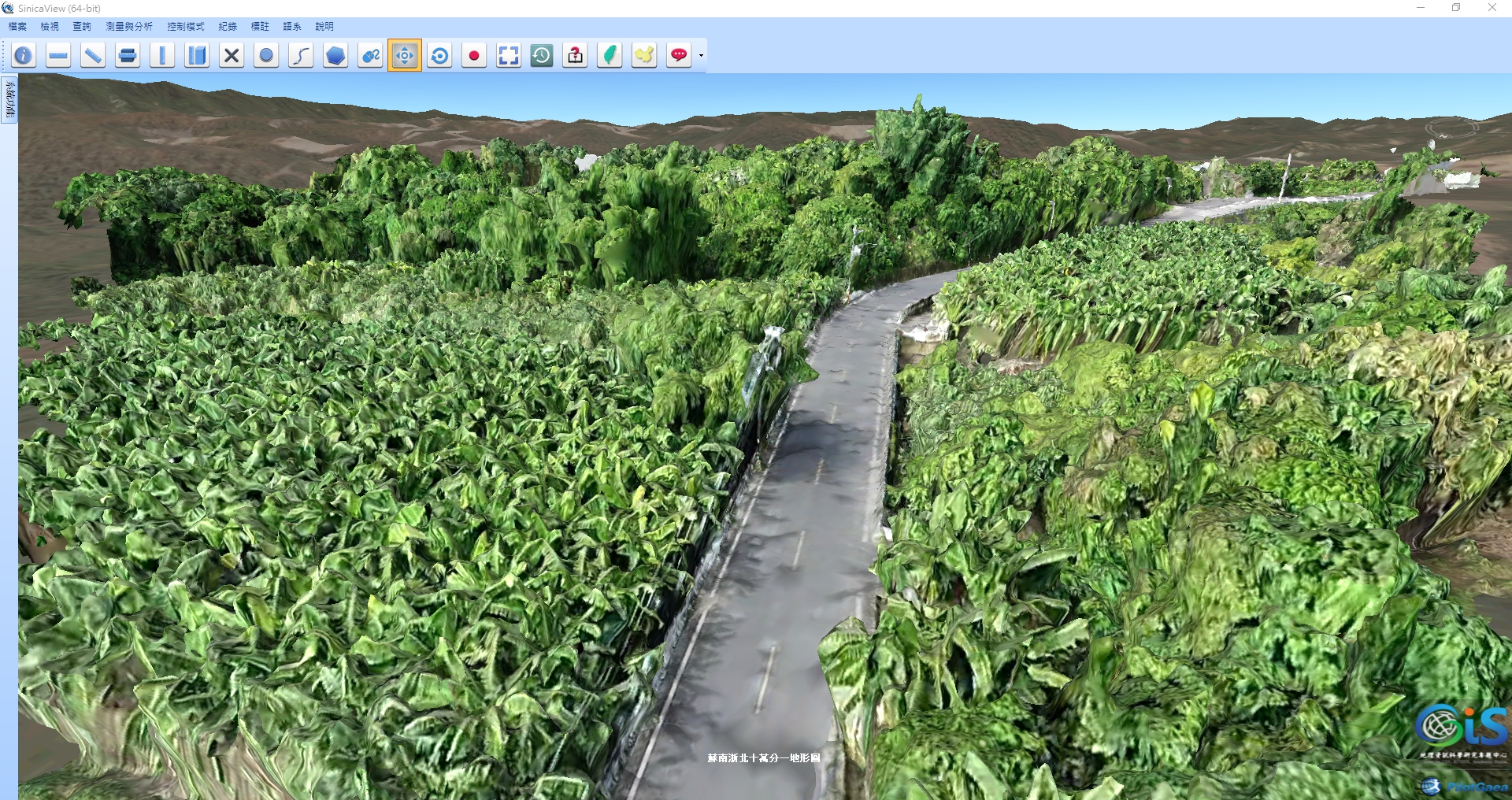
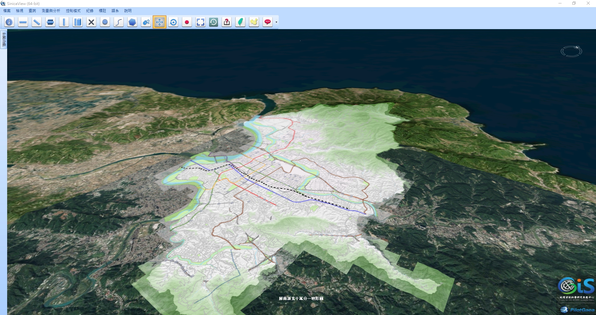
SinicaView breaks free from the limitation of 2D space by transposing 2D map data onto a 3D view to present information that is more convenient for the users to view.
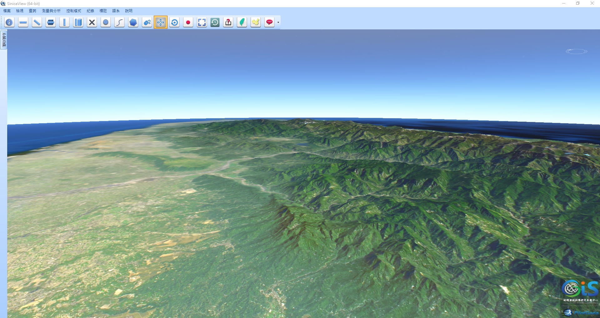
2. Smooth Display for Heavy 3D and Point Cloud Data
SinicaView displays large amounts of 3D and point cloud data with speed and clarity that cannot be matched by other platforms - the basic requirements for a GIS platform
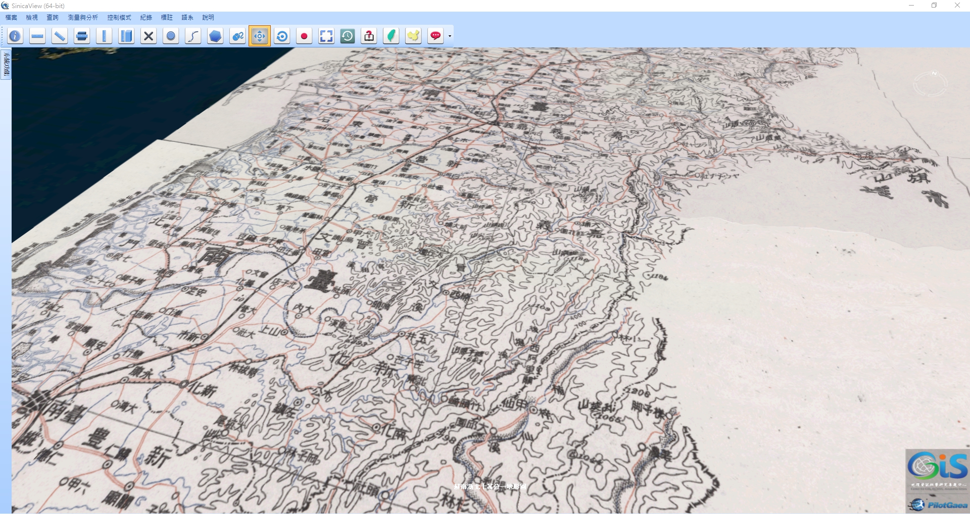
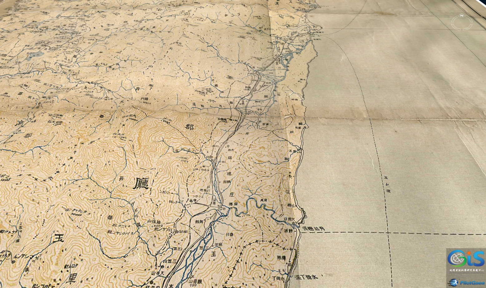
3. Wide Collection of Historical Maps
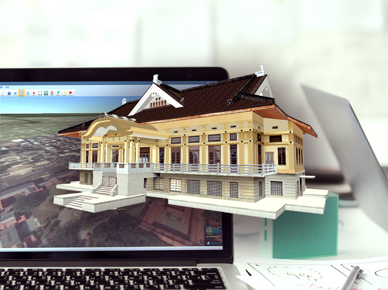
By recreating and importing maps from Academia Sinica's collection through a detailed scanning and overlaying process, SinicaView brings life to maps that are on the verge of being destroyed.
4. First of Its Kind Sunlight Simulation
By adjusting the angle of orientation and elevation, the user is able to simulate sunlight levels at different times of the day and seasons, adding a realistic touch through subtle changes in lighting.
5. Visualize History through Maps
SinicaView brings historical memories back to the world by enabling users to reference historical maps from different periods. Historical place names can even be queried and located directly through our system.
6. Additional Application of Digital Elevation Model
SinicaView is the first 3D GIS platform that provides a variety of digital elevation models by interfacing with the Ministry of the Interior's DTM network and application system under its Department of Land Administration