PilotGaea Attends the 2021 Land Mapping GIS Competition Online Seminar
Published
The Ministry of the Interior's "Multidimensional National Spatial Information Service Platform" will be launched at the end of 2020, and the national base map will officially move from 2D to 3D. The 3D mapping information involves a wide range of applications, therefore, the Ministry of the Interior holds a briefing and online lecture on the 3D new and innovative application group mapping information, and disseminates the explanation on the expansion of the 3D national base map application scope and the promotion of the competition, so as to implement the results of the interactive application of technology in industry and the public domain.
PilotGaea will be the speaker at the online seminar on 6/30 at 3pm, and we sincerely invite you to join us to witness our achievements in industrial applications!

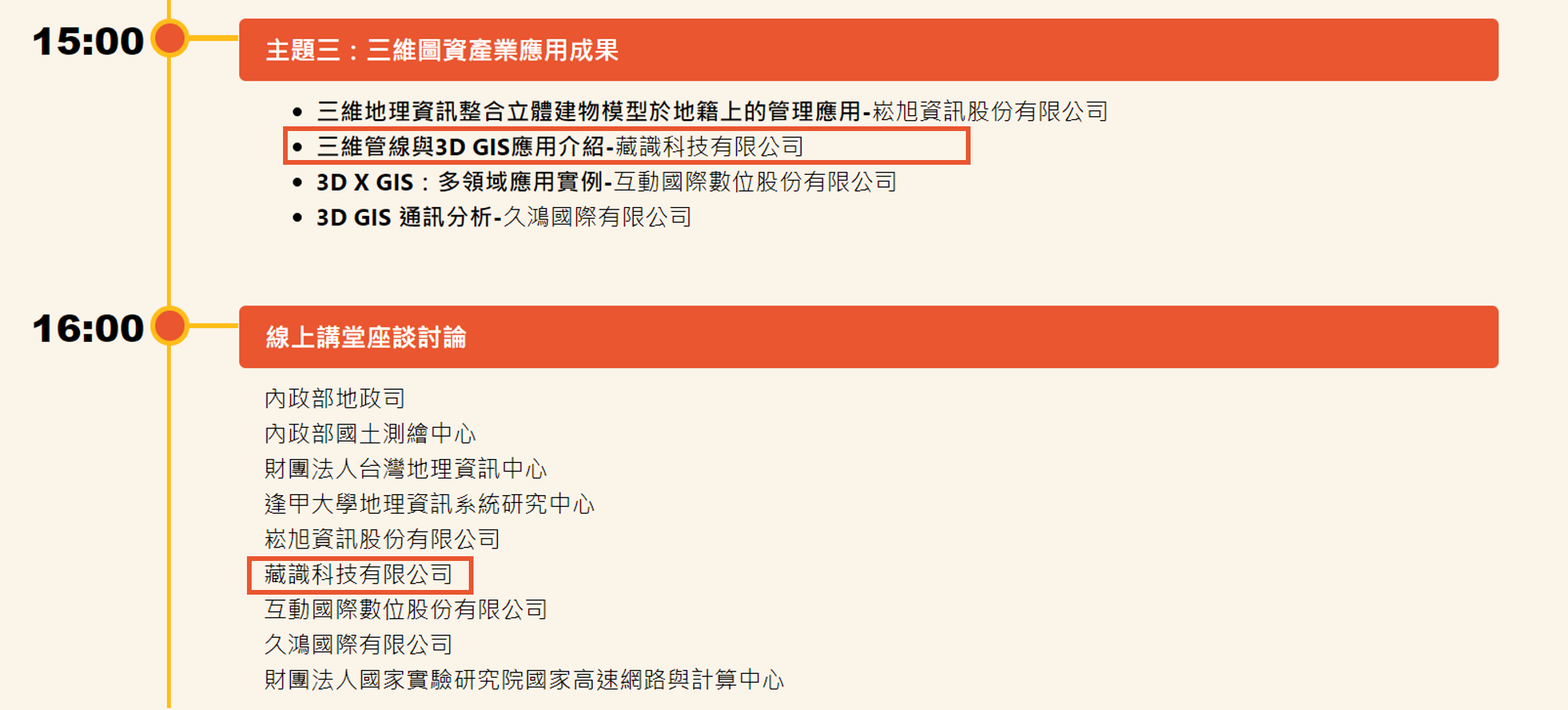
6/30 15:00 Theme 3: The results of the application of three-dimensional map asset industry
Introduction to 3D Pipeline and 3D GIS Application-PilotGaea
Livestream: https://www.youtube.com/watch?v=9M9c3WzsmNM
6/30 16:00 Online Lecture Hall Discussion
Registration:https://forms.gle/hWpvBquKp5JC4nqr6
Link: https://easytolearn.tw/GISMAP/3DOnlineCourse.aspx#thirdPage