"Smart Land Policy" The Ministry of the Interior Launches 3D Taiwan Map
Published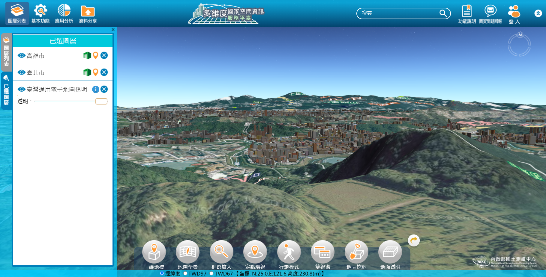
The Ministry of Interior held an opening ceremony today&nbsp; for the "MoI Smart National Land Planning and Spatial Editing Technology Exhibition," led by <span>Undersecretary </span>Chang Yue Qiu.
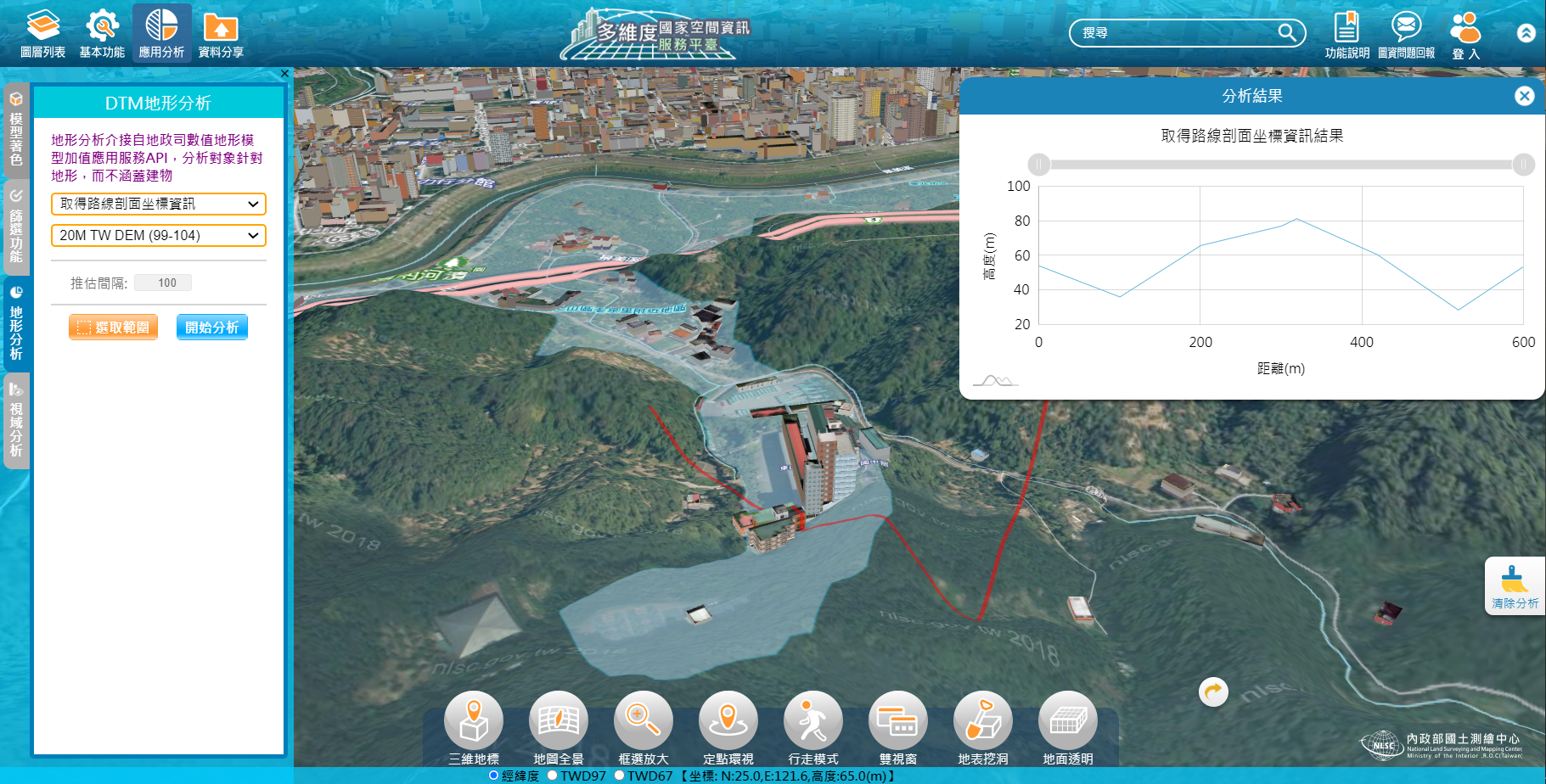
Qiu said that the government has already released 3D national maps this month, and this day also officially released a 20-kilometer DTM (Digital Terrain Model), and the Permanent Bureau has already established a national railway data repository with an area of 462,000 km2 and the matching of the data with the national maps, and they hope to continue to work closely with the government and academia, and to help the development of the automotive industry, and to further promote the 3D Smart government.
Qiu pointed out that the Smart Government has completed many achievements since the Ministry of Interior was established 105 years ago. To enrich the content of the national base map, the Ministry of Interior has also continued to update the national numerical terrain model data, and today officially released the "20-meter grid DTM data for all of Taiwan and some outlying islands in 2020" for public use.
In addition, the Department of Construction has also established a national pipeline database, covering an area of 462,000 hectares, accounting for about 96% of the national urban planning area (urban roads over 8 meters), and will promote the establishment of cross-regional road data for non-urban areas such as county roads and rural roads to establish a more complete public pipeline database system.
Qiu said The Ministry of Interior has established the TGOS (Taiwan Geospatial One Stop) mapping platform for application by all sectors. The company also cooperated with relevant ministries to promote the research and development of key technologies for self-driving cars, optimize the information integration platform, integrate high-precision map supply services, and improve the "car, road, cloud and map" integrated framework.
In order to promote the exchange of NGIS results, the Ministry of the Interior said that this event is themed "Cross-domain Sharing X Decision Upgrading," and combines four major themes: "DTM (Digital Terrain Model) Open Data and Value-Added Applications," "Map Integration, Circulation, and Application," "3D National Base Map Applications," and "Spatial Mapping Technology Results Presentation," and invited experts and scholars to present and discuss. More than 600 people applied for the conference, and we expect that through the exchange of industry, academia, and research, we can improve the application and industrial development of 3D mapping in Taiwan and deepen the spatial data to assist in intelligent decision-making.
Source:https://www.chinatimes.com/realtimenews/20201117002378-260410?chdtv
Website:https://3dmaps.nlsc.gov.tw/