PilotGaea VP Tony Lee Speaks at ACIIDS, Unveiling Comprehensive AI & GIS Solutions for the Low-Altitude Economy
Published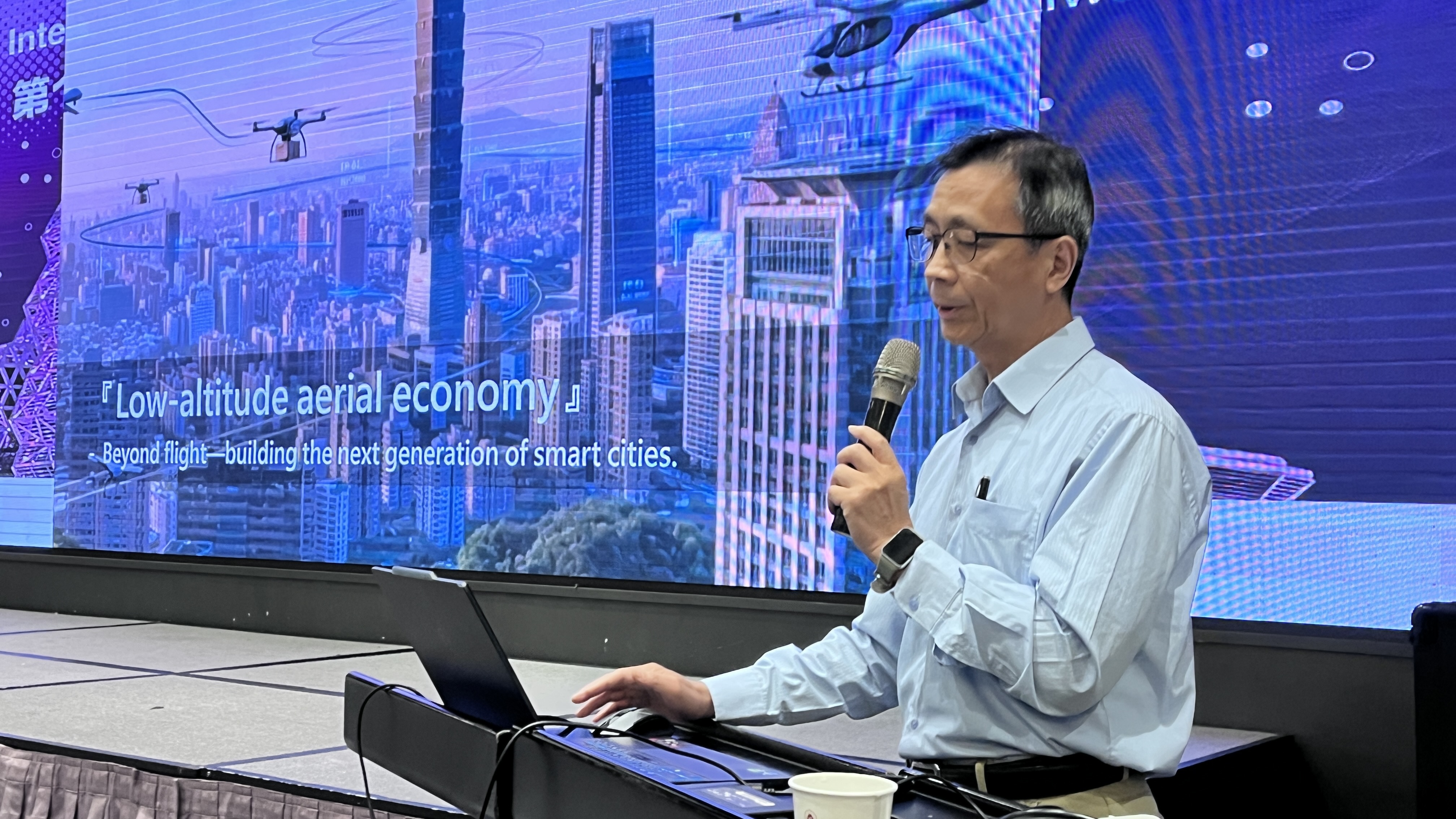
<p data-path-to-node="3">The 18th Asian Conference on Intelligent Information and Database Systems (ACIIDS) has grandly commenced. PilotGaea Technologies, a leader in Taiwan's 3D spatial information engines, was represented by Vice President VP Tony Lee. He delivered a keynote speech titled <span data-path-to-node="3" data-index-in-node="270" style="">"Making the Sky Smarter: Building a Low-Altitude Economy Ecosystem and Solutions Based on AI and GIS,"</span> showcasing Taiwan's forward-looking technology and innovative strength in UAVs and smart city construction to the international community.</p><p data-path-to-node="4">In his speech, VP Tony Lee pointed out that with the booming "low-altitude economy," UAV applications have evolved from simple flight missions to critical infrastructure for next-generation smart cities. However, the industry currently faces pain points such as a shortage of professional pilots, high training costs, and fragmented information during multi-drone collaboration. To address these, PilotGaea leverages its deep 3D GIS (Geographic Information System) foundation, integrating AI, XR, and aerospace technology to create a truly "thinking and collaborative" smart sky ecosystem.</p><p data-path-to-node="5">Addressing industry challenges, VP Lee proposed a one-stop ecosystem solution consisting of three core components:</p><p data-path-to-node="6">First is <span data-path-to-node="6" data-index-in-node="9" style="">SkySims</span>, a UAV simulator that precisely models real-world physical factors like wind and gravity while importing real GIS spatial data to provide a low-cost, high-fidelity digital environment for R&amp;D and pilot training. Second is <span data-path-to-node="6" data-index-in-node="239" style="">SkyCortex</span>, a ground control station featuring powerful virtual-real fusion perception. It overlays real-time visual and positioning data from multiple automated drones onto 3D maps, helping commanders break through the "fog of information" to make precise decisions. Finally, the <span data-path-to-node="6" data-index-in-node="519" style="">Smart UAV and Flight Control System</span> uses edge-computing AI for automatic target identification, object tracking, omnidirectional obstacle avoidance, and real-time path planning, significantly enhancing flight safety and autonomy.</p><p data-path-to-node="7">VP Tony Lee emphasized that PilotGaea’s integrated solutions already have extensive real-world experience. Applications include "Smart Firefighting Rescue" combining high-altitude intelligence, "Solar Farm Inspections" with precise positioning, as well as "Smart Factory Inspections" and "Large-scale Multi-drone Collaborative Searches." Looking ahead, PilotGaea will continue to use its "Smart Vehicle, Smart Simulation, and Smart Brain" architecture to build a controllable, quantifiable smart management platform for unmanned vehicles, fully empowering the low-altitude economy and leading the industry toward a new era of intelligence.</p>