Integration of Cadastral Building Construction Completed
Published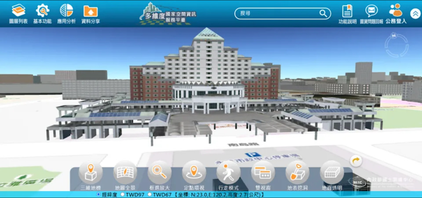
To promote Tainan City to move towards 3D smart land, the Bureau of Land Affairs has completed the construction of a 3D cadastral model to integrate the cadastral map for the registered buildings in 2010. The Bureau of Land Affairs pointed out that the 3D cadastral property rights model can improve the quality of government decision making and the convenience of people's lives.
The Bureau of Land Affairs, in line with the Ministry of Interior's "Toward 3D Smart Land" national base map spatial data infrastructure project, began the "3D cadastral building integration" project on January 1 this year.<br>The GIS technology was used to align the building numbers and obtain the coordinates of the building locations. 12,520 new buildings were saved and registered in 110 years, and 133,321 existing building numbers were aligned.
Originally, the public can only view the dimensional area and other information from the result map and floor plan of the building, and cannot obtain the height information.The 3D cadastral property rights model can easily understand the area and ownership of each floor through different viewpoints, and it can be integrated with the multidimensional national spatial information service platform, so that all kinds of cadastral property rights spatial attribute data can work together with more government maps to strengthen the integration benefits.
The director of the Bureau of Land Affairs, Chen Shumei, said that the 3D cadastral building model is an important spatial data base for the national base map, which can improve the quality of government decisions, promote the development of space-related industries, and enhance the convenience of people's lives.
Source: https://tw.news.yahoo.com/三維地籍建物整合建置完成-160026559.html多維度國家空間資訊服務平台: