Disaster Prevention and Relief Application Technology Solution Results Seminar
Published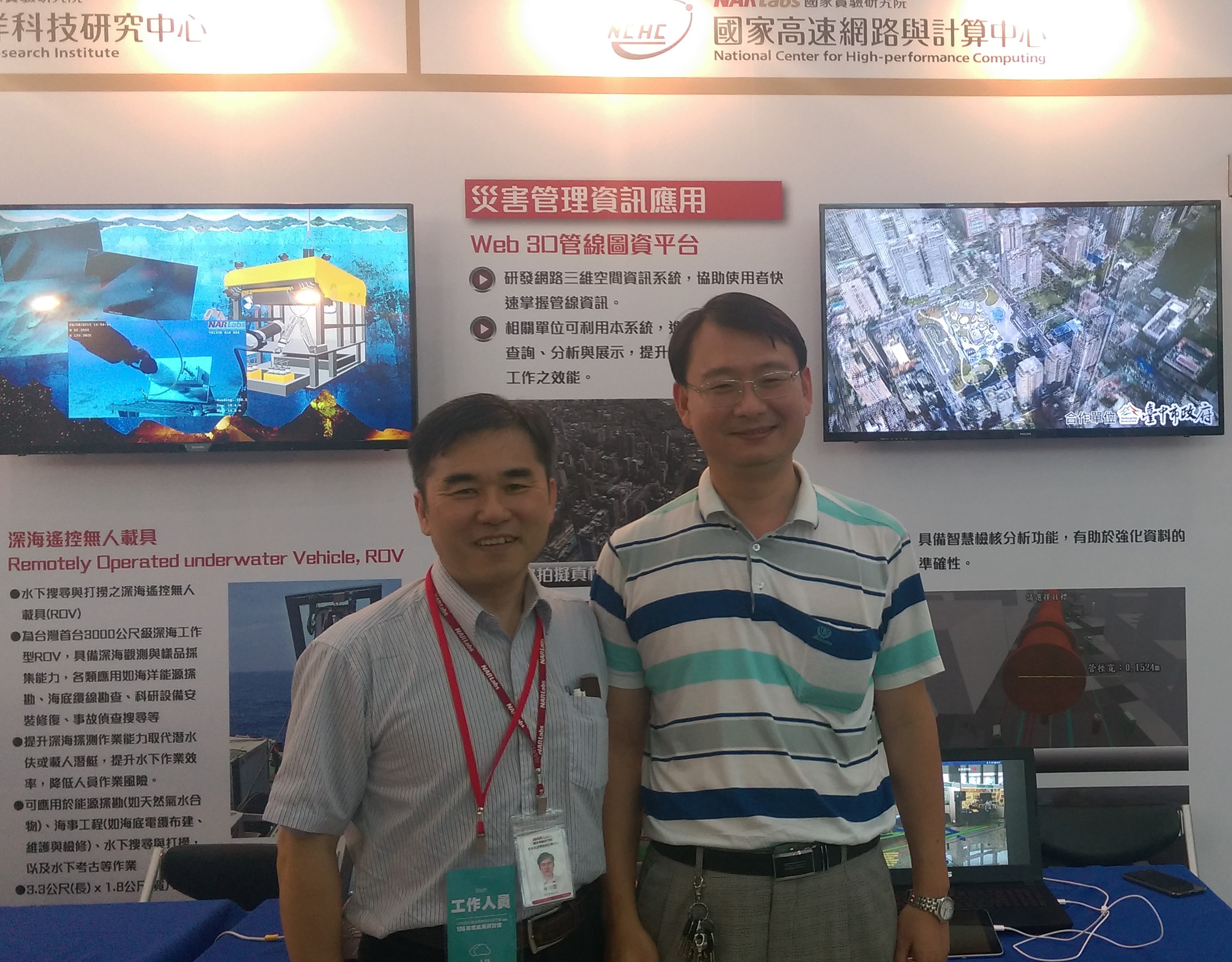
"The second phase of the Executive Yuan Disaster Prevention and Relief Application Technology Program is planned, developed, and promoted by the Ministry of Science and Technology (MOST) and disaster prevention and relief-related ministries and agencies. 32 units from 10 ministries and agencies are involved in the research and development of disaster prevention and relief technology, which is expected to promote the integration of disaster prevention and relief research results across ministries and agencies, and to apply the research and development results to the practical operations of disaster prevention and relief in central and local units. It is our hope that the results of the integration of government units can be added value and promoted to the industry. This symposium includes a theme pavilion, industry and ministry booths, a poster exhibition, a presentation of the results of the 106th Annual Program, lectures, and a report on the results of the Ministry and Agency. The conference will be conducted in a cross-disciplinary manner to promote experience sharing among industry (disaster prevention-related industries), government (ministry and agency colleagues), and academia (disaster prevention research), to enhance Taiwan's disaster prevention capabilities, to build a sustainable home and to implement sustainable development, and to make Taiwan a major disaster prevention and relief technology role model in the Asia-Pacific region. In order to enhance the domestic spatial information technology, the National Center for High-Speed Networking and Computing of the National Experimental Research Institute (NERI) and the 3DGis team signed a strategic agreement to jointly conduct research and development of spatial information display and value-added applications. In this seminar, in addition to the "flying" technology of 2D and 3D browsing, we also exhibited the ability to visualize underground pipelines and surface faults that cannot be directly observed, and to project the real-time surveillance images onto the 3D map platform to achieve the innovation of "virtual-real integration" and realize the application of security and disaster prevention early warning.<br>