GIS and AI Industry Trends, PilotGaea Helds AI Course
Published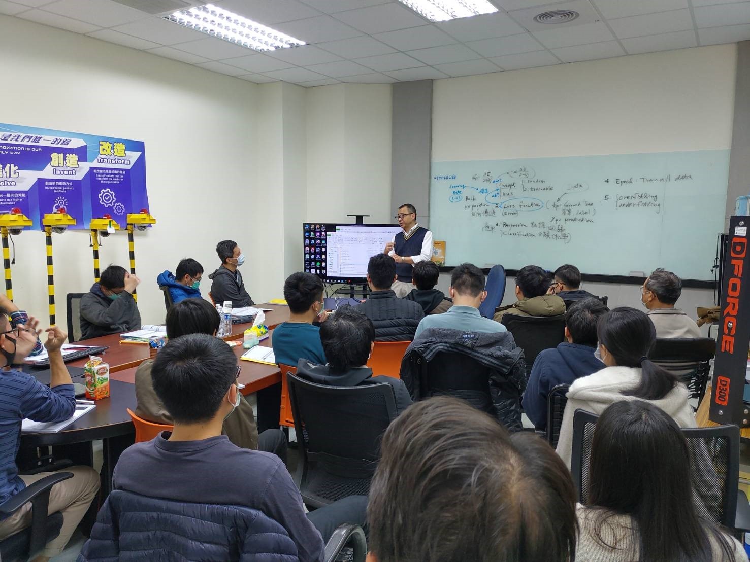
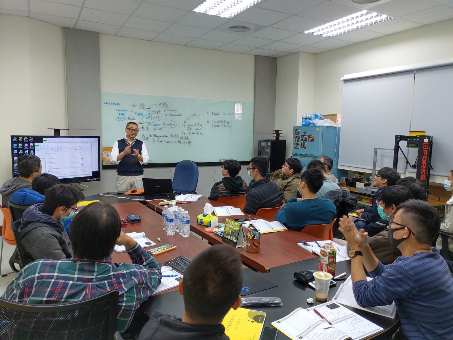
PilotGaea, as a pioneer in the GIS industry, has taken the lead in introducing AI technology into GIS systems to expand multiple applications in various fields.<br>PilotGaea's first Artificial Intelligence course was held and all colleagues signed up for the course, and a full house was filled.
With the development of technology, information through such as financial technology, intelligent robots and face recognition, etc. realized through big data analysis, neural networks, artificial intelligence and deep learning technologies, has become an indispensable role in today's generation. PilotGaea is pursuing innovation and excellence, and is now thinking about how to expand the value-added applications of GIS.
President of PilotGaea said that in order to enhance the company's development capability in the field of AI, Dr. Cheng, an expert in artificial intelligence, has been specially invited to give lectures. Dr. Cheng has a PhD in Electrical Engineering from National Taiwan University and has been a lecturer of AI courses in many universities, such as National Taiwan University and National Cheng Yi University. ,Dr. Cheng first introduced the structure and composition of artificial intelligence such as neural network and deep learning (convolutional neural network), and then explained how to compute and analyze in image recognition. The focus of this lecture is to enhance the AI technology in GIS systems. Through the use of different artificial intelligence, colleagues can think about how to enhance the value of GIS from a cross-disciplinary perspective and apply it to projects in various industries.